Use of remote imagery to map microbialite distribution at Great Salt Lake, Utah: Implications for microbialite exposure
Abstract
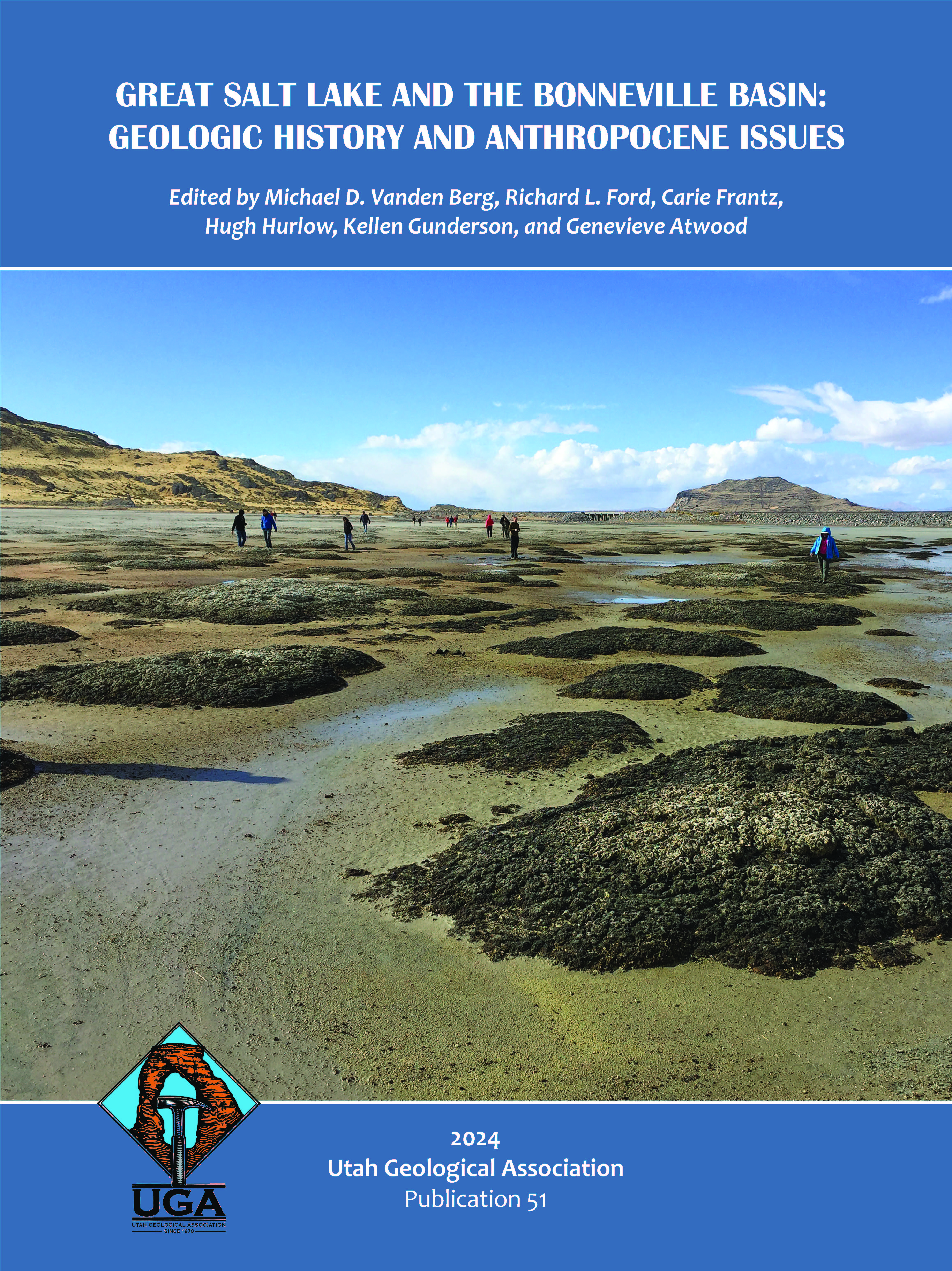
The elevation of Great Salt Lake has fallen to historic lows in recent years, exposing once submerged microbialites along the lake’s shores. Although prior studies have attempted to map microbialite locations, this has proved challenging, with mapped microbialite areas limited to accessible shoreline locations or via indirect sonographic evidence. Meanwhile, the importance of Great Salt Lake’s microbialites to the lake’s food chain has made quantifying the extent of microbialites exposed versus submerged at different lake elevations critical to lake management decisions. Low lake levels combined with seasonal high-water clarity have enabled microbialite reefs to be spotted in aerial and satellite imagery, even in deeper areas of the lake. In this study, satellite images were used to identify and map microbialite reef areas in Great Salt Lake and along its dry shores. In the south arm, submerged microbialites were easily recognized as dark green reefs against a light-colored benthic background (primarily ooid sand). Stationary microbialite mounds were distinguished from rip-up clasts or other dark-colored mobile material by comparing potential microbialite regions across several high-visibility timepoints. In this way, we identified 649 km2 (251 mi2) of putative microbialite reef area: 288 km2 (111 mi2) in the north arm, 360 km2 (139 mi2) in the south arm, of which 375 km2 (145 mi2) was mapped at a high degree of confidence. We also produced geospatial shapefiles of these areas. This map, combined with currently available lake bathymetric data, permits the estimation of the extent of microbialite reef exposed vs. submerged in various parts of the lake at different lake elevations. At the end of fall 2022, when lake level dipped to 1276.7 masl (4188.5 ft-asl) in elevation, we estimate that ~40% of the south arm microbialite reef area was exposed.


