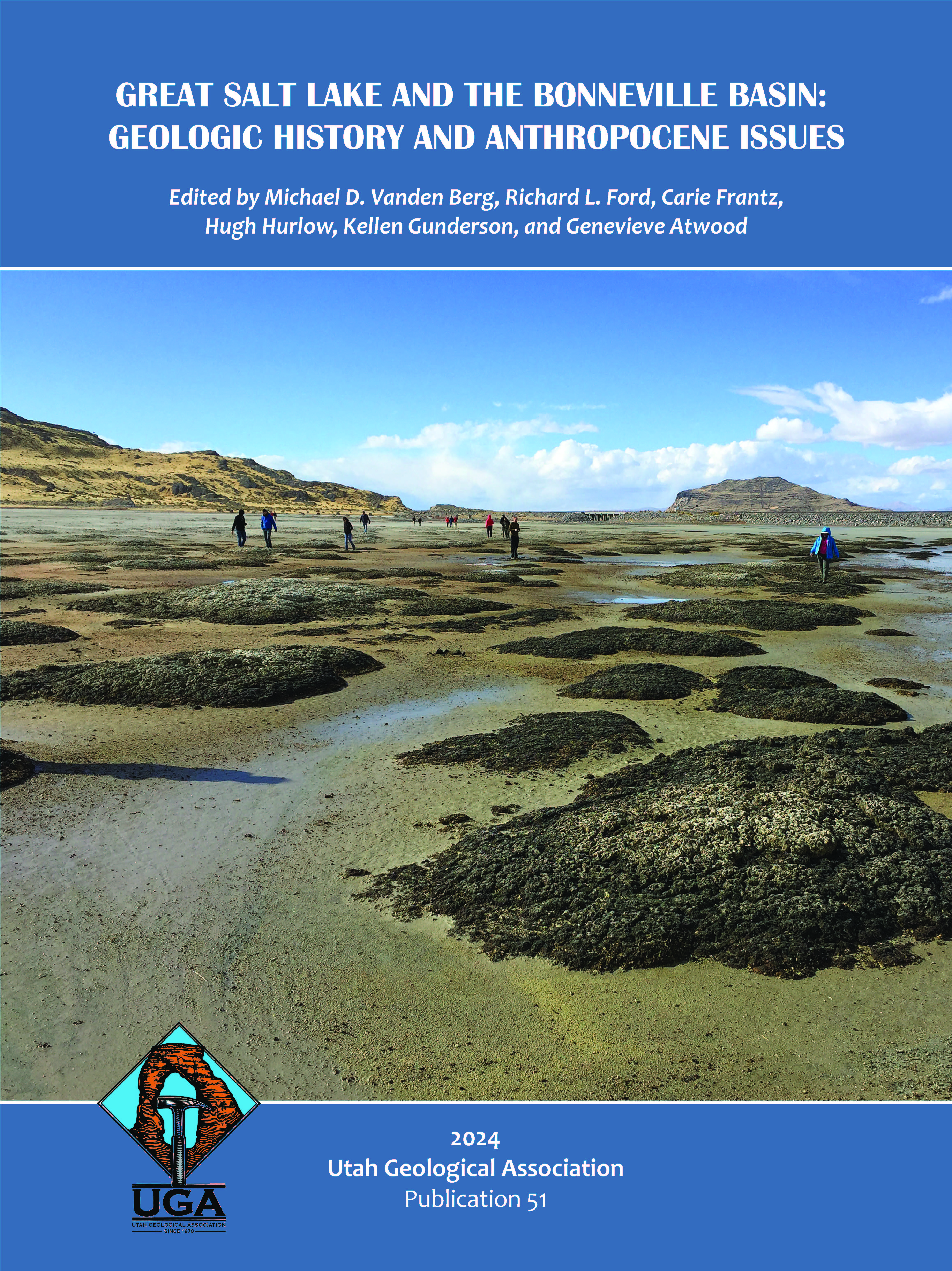
Great Salt Lake desert landscape change over multiple temporal scales
A field trip guide covering the Bonneville Salt Flats and Knolls Sand Dunes
Abstract
This one-day (~260-mile) field trip guide provides an overview of the late Pleistocene to Holocene history of the Great Salt Lake Desert. Stops include Knolls Sand Dunes and areas on or surrounding the Bonneville Salt Flats, such as Juke Box trench, the Bonneville Salt Flats International Speedway, and the saline pan center and edge (Figure 1). We cover the post-Lake Bonneville geomorphic evolution of the Great Salt Lake Desert including changes in land cover over the past century. The Great Salt Lake Desert area provides unique access to saline landscape features including gypsum dunes and a perennial saline pan. We discuss the origin of these features and how they fit within the area’s broader geologic context. The accessibility of sites discussed here depends on surface conditions. In general, late summer to early fall is the most opportune time to visit this area. Vehicular travel to any of the off-road sites is discouraged when there is standing water or high near-surface moisture (wet mud with little traction). Surface conditions can change rapidly, and we recommend researching current conditions before initiating this trip. This desert is hot and dry during the summer and there is no shade and limited access to water; please plan accordingly. Past and current Great Salt Lake Desert depositional changes provide an analog for the modern Great Salt Lake with changing water availability, potential dust production, competing priorities, and rapidly changing land cover. The information presented here impacts understanding natural and geologic heritage, changing management strategies, and landscape dynamism over multiple spatial and temporal scales.


