
Ophir anticline, Tooele County—a 30-minute drive through 300 million years of bedrock
Abstract
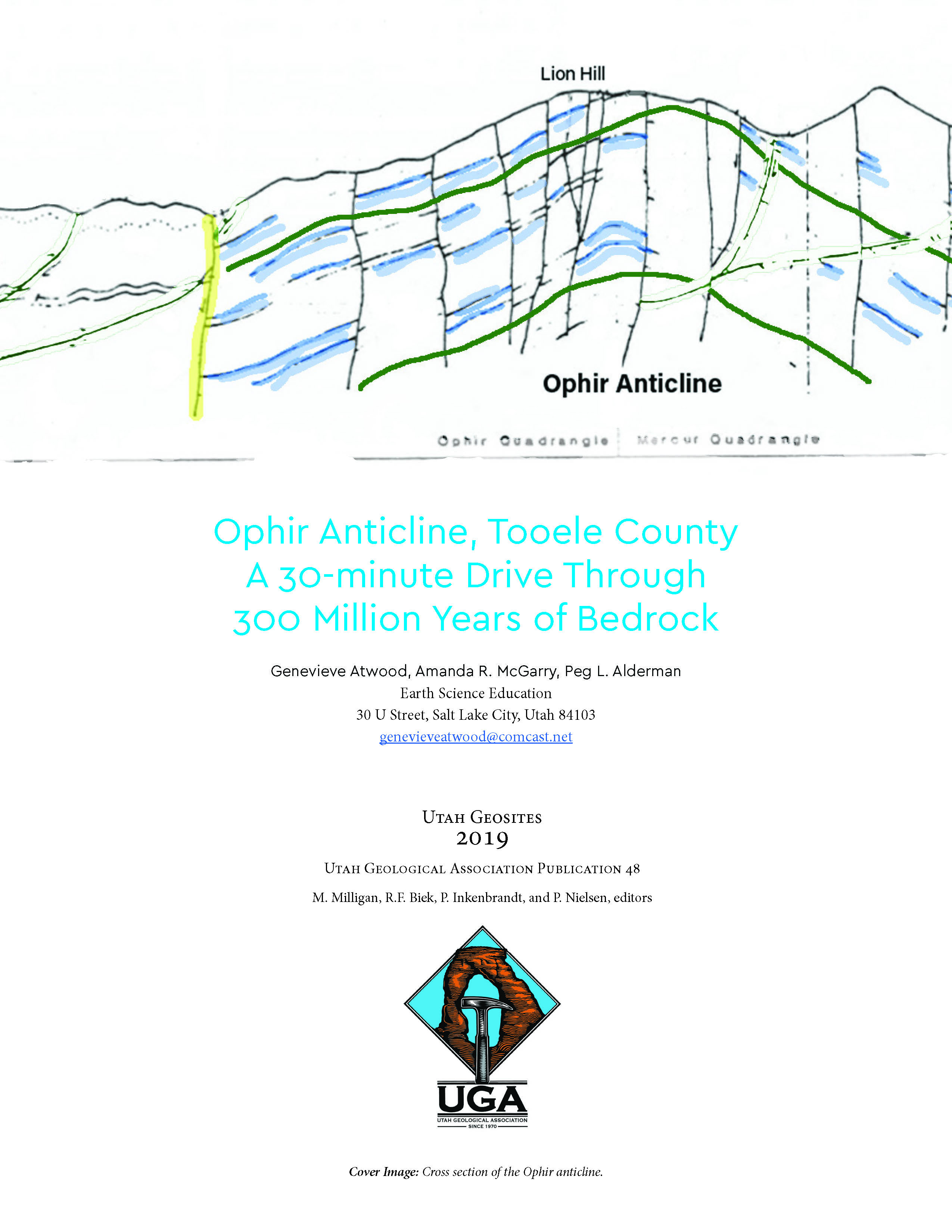
Anticlines are not unusual features, but the Ophir anticline is exceptional. Regions shortened laterally by compressional tectonics have folds and/or faults including anticlines, synclines, monoclines, and thrust faults. However, most anticlines are buried or partially buried, visible on land only as discontinuous snippets in road cuts or visible from above as one flies across terrain too regional to be viewed in entirety from land. The Ophir anticline is unusual as its limbs and crest can be viewed in their entirety, exposed in cross-section on Ophir Canyon’s walls. Ophir Canyon provides evidence that the compressional tectonics associated with the Ophir anticline long-preceded active-extensional tectonics associated with today’s basin and range topography of western Utah. This geosite is the 2-mile (3.2 km) stretch of Ophir Canyon that exposes the anticline.
Copyright (c) 2019 Geosites

This work is licensed under a Creative Commons Attribution 4.0 International License.
