Inverted topography in St. George, Washington County, Utah
Abstract
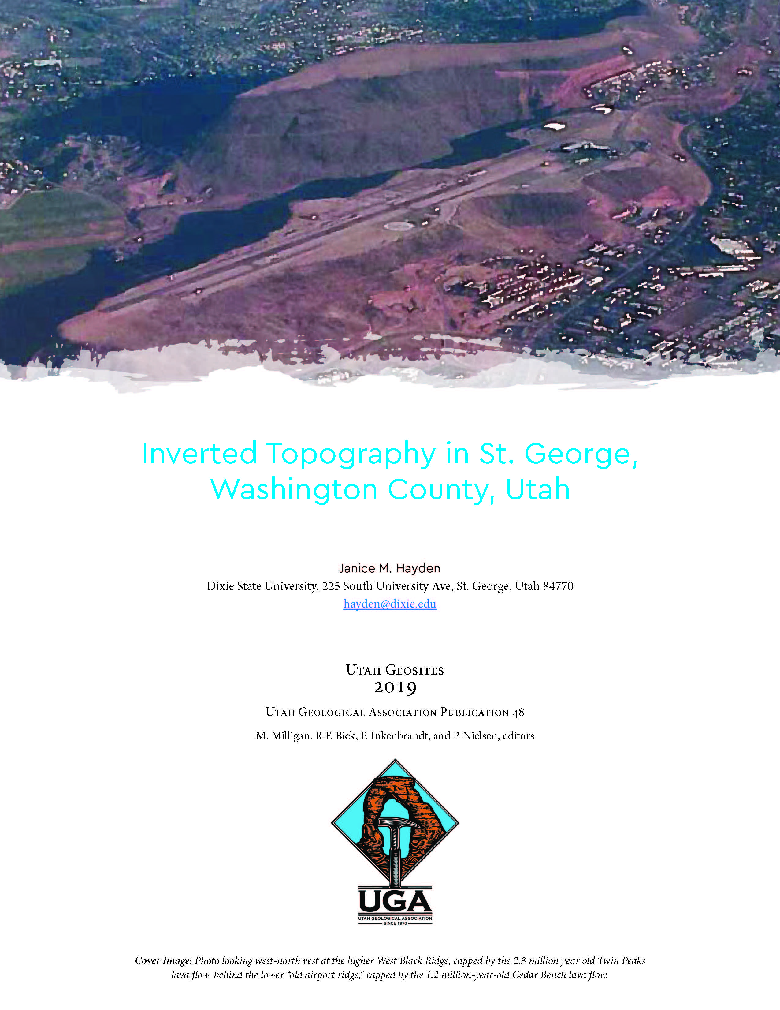
Washington County, Utah has several classic examples of inverted topography, where now topographically high ridges are capped by basalt that once flowed as lava down low stream drainages. This paper
focuses on the ridges that trend north-south on either side of downtown St. George.
The City of St. George boasts three of these ridges. West Black Ridge capped by the Twin Peaks lava flow, and “old airport ridge” capped by the Cedar Bench lava flow are both located to the west of downtown. Middleton Black Ridge capped by the Lava Ridge lava flow is located to the east of downtown. The two lower elevation ridges are now being covered with homes, some of which have spectacular views. These ridges also remain a favorite place from which to view firework displays during city celebrations and events. Visiting the water tank on the Red Hills, north of downtown offers an excellent perspective from which to view these ridges.