
G.K. Gilbert and the Bonneville shoreline
Abstract
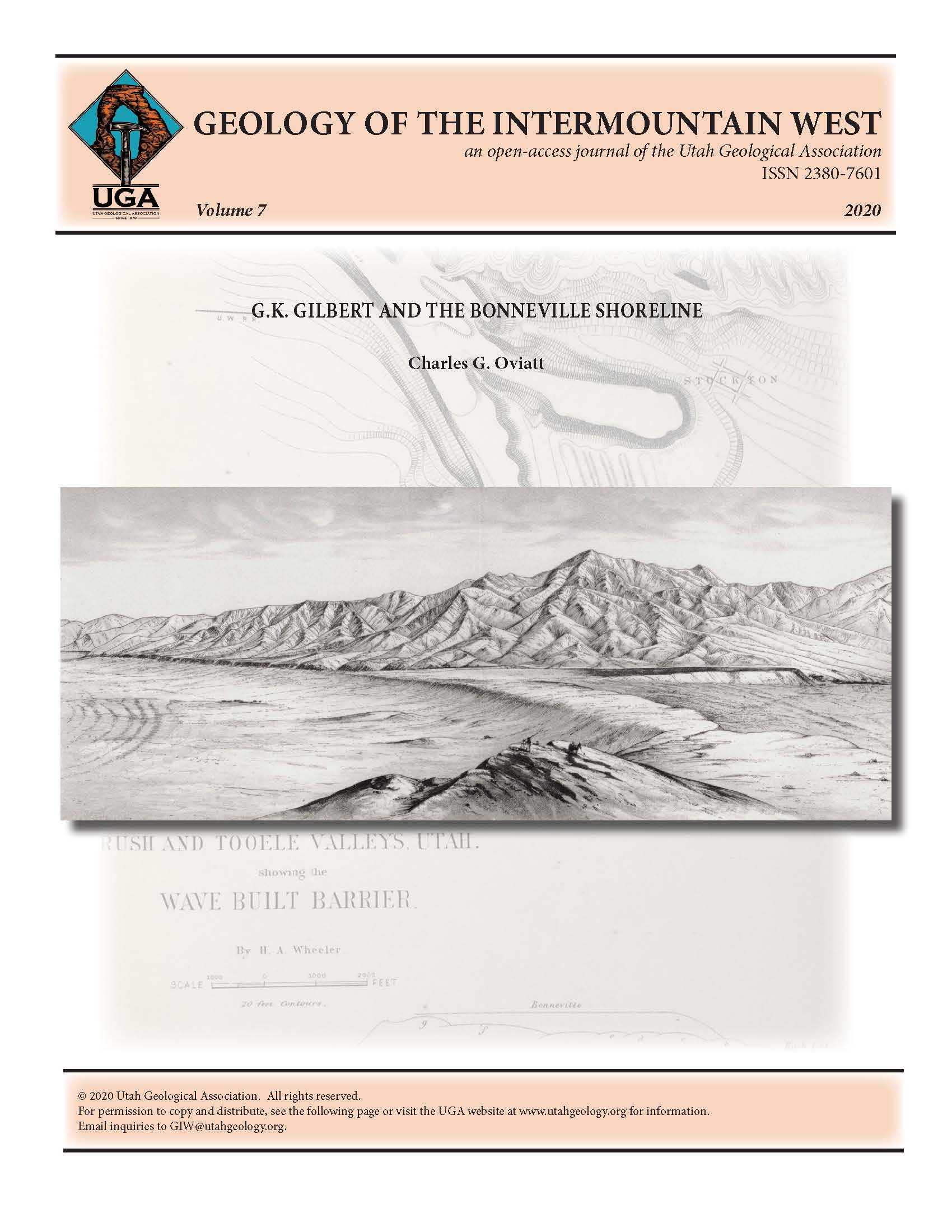
The Bonneville shoreline, the highest, and second-most prominent shoreline of Pleistocene Lake Bonneville in Utah, Nevada, and Idaho, has been thought for many years to have formed during a period of
prolonged overflow (500 to 1000+ years) and lake-level stability prior to the Bonneville flood. That traditional idea was initially promoted by G.K. Gilbert during the 1870s before he spent over a decade on field work related to Lake Bonneville. During Gilbert’s field work, his observations led him to a different interpretation of how the Bonneville shoreline developed, and by the time his final report on Lake Bonneville was published in 1890, he was no longer promoting the idea of prolonged overflow. Instead he thought of the Bonneville shoreline as a geomorphic record of the highest level attained by the transgressing lake in the closed basin; the shoreline marks the boundary between lacustrine-dominated landforms below and fluvial-dominated landforms above. For over 120 years after Gilbert’s (1890) monograph was published, researchers ignored his interpretation, and assumed (but did not present supporting evidence), that Lake Bonneville had overflowed for a prolonged period prior to the Bonneville flood while the Bonneville shoreline developed. Re-examination of the geomorphology of the Bonneville shoreline, the stratigraphy of Lake Bonneville deposits, the geomorphology of the overflow area, and the history of Lake Bonneville, shows that Gilbert’s 1890 interpretation is consistent with observations. Considering this, to accurately interpret the history of Lake Bonneville the Bonneville shoreline should be viewed as the level the lake had reached in the closed basin when its transgression ceased and it began to spill into the Snake River drainage basin.
Copyright (c) 2020 Utah Geological Association

This work is licensed under a Creative Commons Attribution 4.0 International License.

