Skip to main content
Skip to main navigation menu
Skip to site footer
Current
Archives
Search
About
About the Journal
Submissions
Editorial Team
Privacy Statement
Contact
Search
Search
Login
Current Issue
Vol. 12 (2025): Geology of the Intermountain West
Published:
2025-01-28
Articles
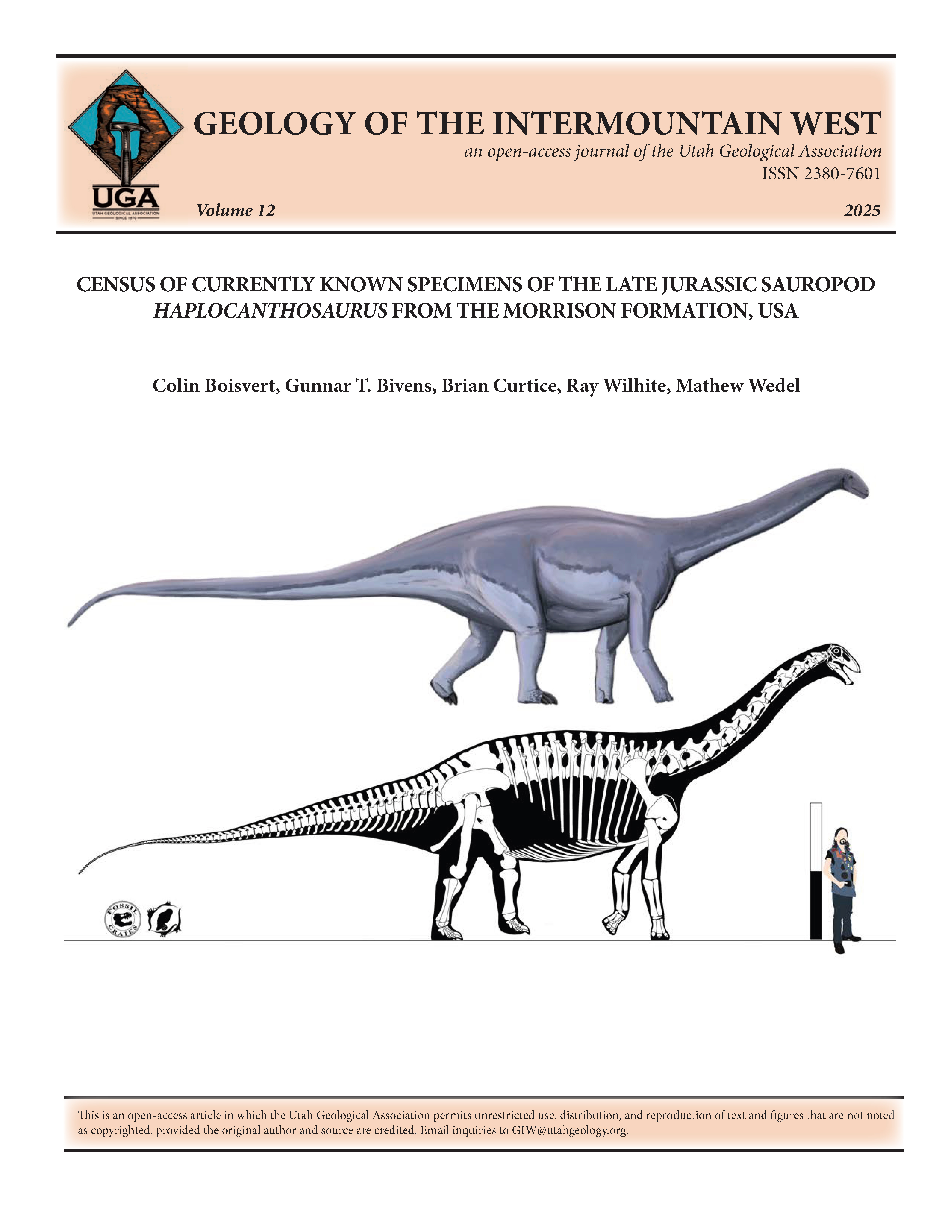
Census of currently known specimens of the Late Jurassic sauropod Haplocanthosaurus from the Morrison Formation, USA
Colin Boisvert, Gunnar T. Bivens, Brian Curtice, Ray Wilhite, Mathew Wedel
1-23
PDF
PDF - Print
View All Issues
Current Issue
Make a Submission
Information
For Readers
For Authors
For Librarians