The March 2020, Mw 5.7 Magna, Utah, earthquake—documentation of geologic effects and summary of new research
Abstract
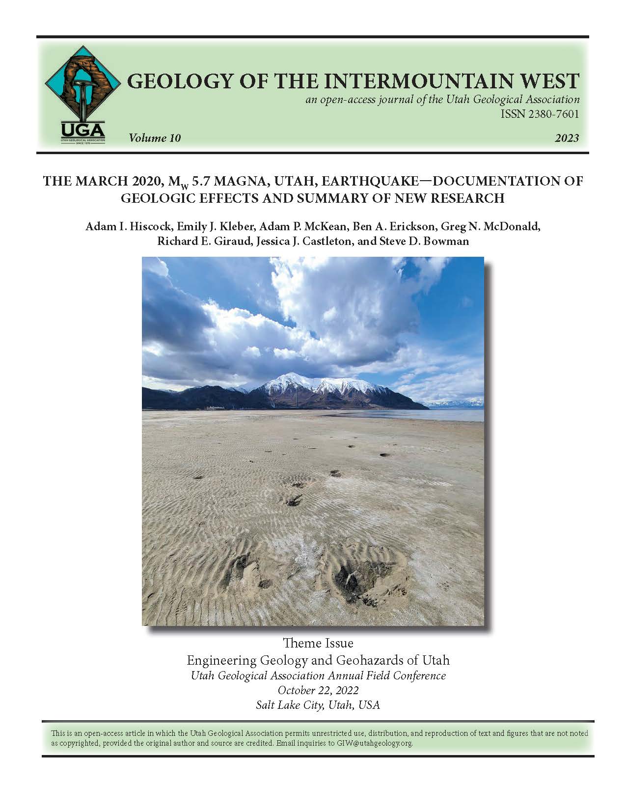
The March 18, 2020, Mw 5.7 Magna earthquake was the largest earthquake in Utah since the 1992 ML 5.8 St. George earthquake. The Magna earthquake occurred in the northwest corner of the Salt Lake Valley, home to 1.2 million people. Immediately following the earthquake, the Utah Geological Survey organized teams to collect perishable field data on the geologic effects of ground shaking near the epicenter, as well as establish a web-based digital clearinghouse to collect, distribute, and archive data related to the earthquake. This earthquake also coincided with the beginning of the COVID-19 global pandemic, which added extra challenges to our earthquake response. Teams used a small, unmanned aircraft system to obtain aerial photos and videos of geologic effects to supplement ground-based reconnaissance. The observed geologic effects of ground motions from the Magna earthquake include liquefaction in the form of sand boils, tension cracks, lateral spreading, and localized subsidence. No primary surface fault rupture was observed. The areas with the highest observed concentration of liquefaction features were close to the shore of Great Salt Lake and near the epicenter, northeast of the town of Magna. Photos and other documentation of the geologic effects associated with this earthquake are critical in helping to understand the hazards associated with moderate magnitude earthquakes in the Wasatch Front region. The earthquake sequence and associated geologic effects were well documented, due to the proximity to a major metropolitan area and the mainshock and aftershocks occurring within the densest part of the Utah Regional Seismic Network. In the two years since the earthquake, numerous studies have been published documenting and interpreting data to characterize the Magna event and discuss how new data add to what is known about seismic hazards along the Wasatch Front.