
Shorelines and vertebrate fauna of Pleistocene Lake Bonneville, Utah, Idaho, and Nevada
Keywords:
Bonneville, Pleistocene, Lake, Gilbert, Lacustrine, Stockton Bar, Great Salt Lake
Abstract
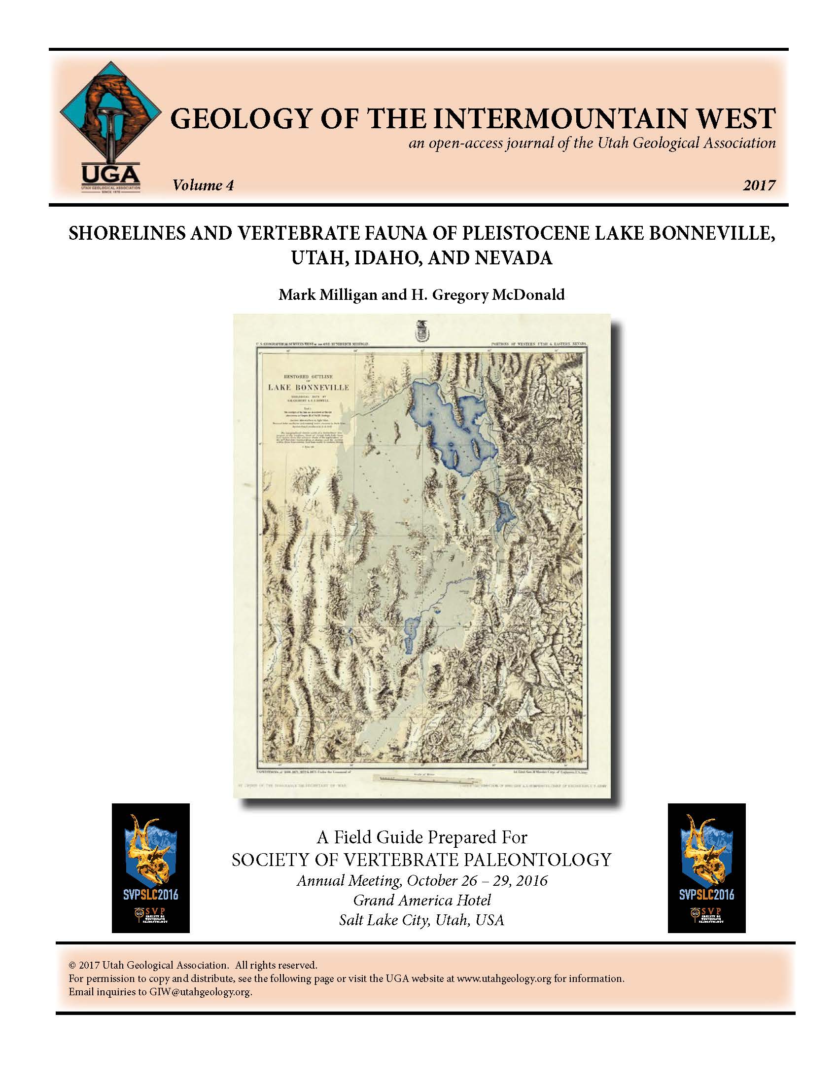
Pleistocene Lake Bonneville created many classic examples of lacustrine shoreline landforms, which preserve a wide variety of vertebrate fossils. This field guide provides a review of the published literature for a sampling of the lake’s world-class localities. This guide also provides a brief overview of modern Great Salt Lake and its microbialites recently exposed by near-record low lake levels. Stops include G.K. Gilbert Geologic View Park, Draper spit, Steep Mountain beach, Point of the Mountain spit, American Fork delta, Stockton Bar, and Great Salt Lake State Park.
Published
2017-12-01
How to Cite
Milligan , M., and McDonald , H., 2017, Shorelines and vertebrate fauna of Pleistocene Lake Bonneville, Utah, Idaho, and Nevada: Geology of the Intermountain West, v. 4, p. 181-214., doi: 10.31711/giw.v4.pp181-214.
Section
Articles
Copyright (c) 2017 Utah Geological Association

This work is licensed under a Creative Commons Attribution 4.0 International License.

