Skip to main content Skip to main navigation menu Skip to site footer
Utah Geological Association Logo
  • Current
  • Archives
  • About
    • About the Journal
    • Submissions
    • Editorial Team
    • Privacy Statement
    • Contact
Search
  • Register
  • Login
  1. Home /
  2. Archives /
  3. Vol. 4 (2017): Geology of the Intermountain West

Vol. 4 (2017): Geology of the Intermountain West

DOI: https://doi.org/10.31711/giw.v4
Published: 2017-01-01

Articles

  • View of the Bridger D and E on “Old Hat Mountain,” a prominent butte on the southeast flank of Hickey Mountain, in the Bridger basin sector of the Green River Basin, Uinta County, Wyoming. Photo taken looking southwest.
    Paleontology and stratigraphy of Middle Eocene rock units in the southern Green River and Uinta Basins, Wyoming and Utah
    Paul C. Murphey, K.E. Beth Townsend, Anthony R. Friscia, James Westgate, Emmett Evanoff, Gregg F. Gunnell
    1-53
    • PDF
    • PDF - Print
  • Buff-colored deposits sit against the backdrop of the Las Vegas Range just outside the city limits of Las Vegas. Once thought to be remnants of a large pluvial lake called Lake Las Vegas, these deposits actually record the presence of extensive desert wetlands that acted as watering holes to an array of Pleistocene megafauna, including mammoth, sloth, camel, horse, bison, American lion, dire wolf, and sabre-toothed cat.
    Vertebrate paleontology, stratigraphy, and paleohydrology of Tule Springs Fossil Beds National Monument, Nevada (USA)
    Kathleen B. Springer, Jeffrey S. Pigati, Eric Scott
    55-98
    • PDF
    • PDF - Print
  • The Chinle Formation section above the Shinarump Member near the Circle Cliffs overlook. The Wingate Sandstone forms the jagged cliffs that cap the Chinle.
    Upper Triassic lithostratigraphy, depositional systems, and vertebrate paleontology across southern Utah
    Jeffrey W. Martz, James I. Kirkland, Andrew R.C. Milner, William G. Parker, Vincent L. Santucci
    99-180
    • PDF
    • PDF - Print
  • Restored outline of Lake Bonneville. Geological data by G.K. Gilbert and E.E. Howell. Lithography by J. Bien. Dated 1876. From, “Topographical Atlas Projected to Illustrate United States Geographical Surveys West of e 100th Meridian,” a collection of 135 topographical and geological atlas sheets, 1876 to 1881. Downloaded from the David Rumsey Map Collection, www. davidrumsey.com. Ancient lake surface in light blue. Present (1876) lake surfaces and running water courses in dark blue. Ancient land surface in dark drab. ought to be the oldest published map of Lake Bonneville, this 1876 map does not show the full extent of the lake as depicted in Gilbert’s 1890 monograph.
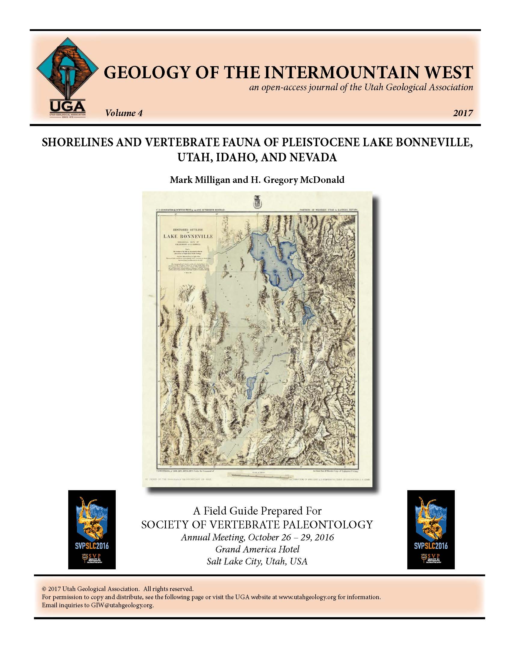
    Shorelines and vertebrate fauna of Pleistocene Lake Bonneville, Utah, Idaho, and Nevada
    Mark Milligan, H. Gregory McDonald
    181-214
    • PDF
    • PDF - Print
  • Extensive folding of fractured carbonate and deformed shale beds in the Onion Creek diapir in the northern Paradox Basin near Moab, Utah.
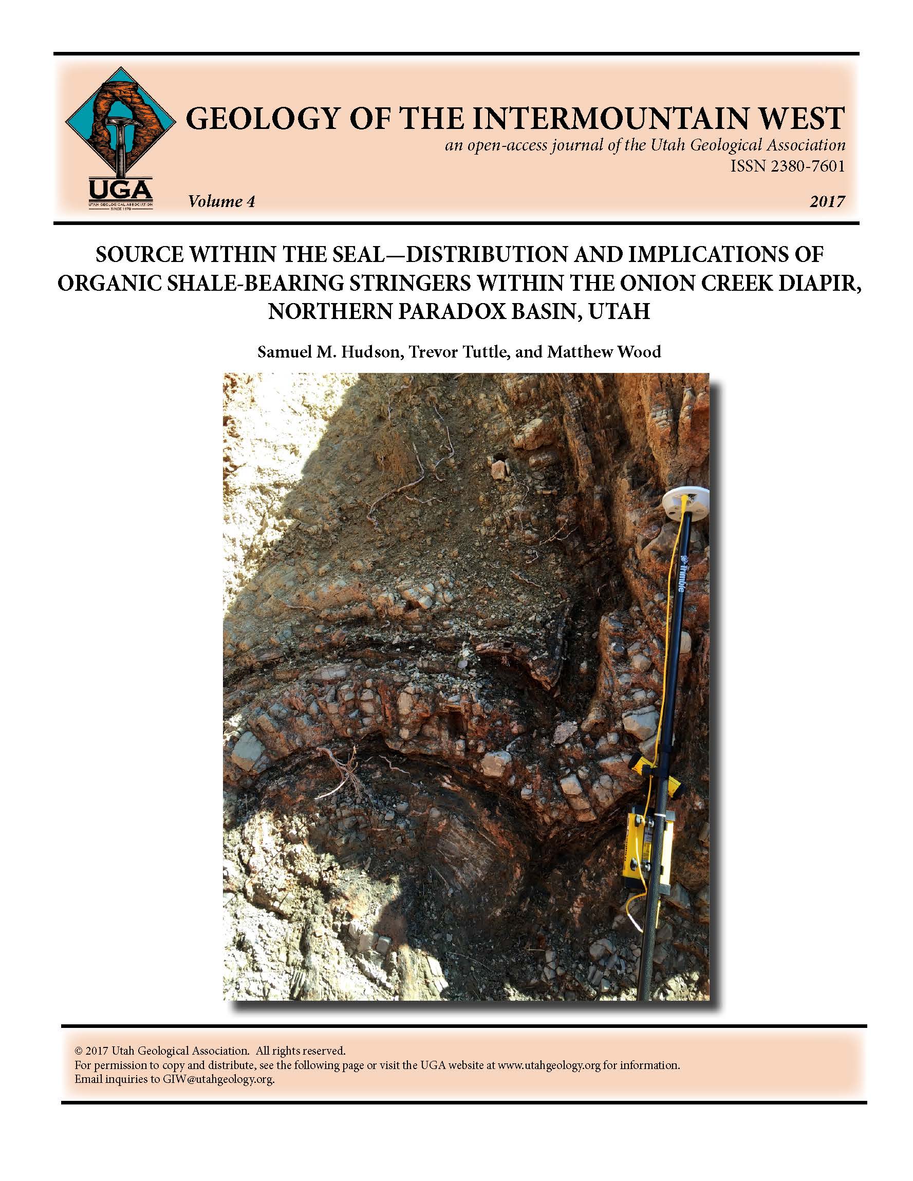
    Source within the seal—Distribution and implications of organic shale-bearing stringers within the Onion Creek diapir, northern Paradox Basin, Utah
    Samuel M. Hudson, Trevor Tuttle, Matthew Wood
    215-229
    • PDF
    • PDF - Print
  • Depiction of neotheropods eating an aetosaur. Artwork by Brian Engh, dontmesswithdinosaurs.com.
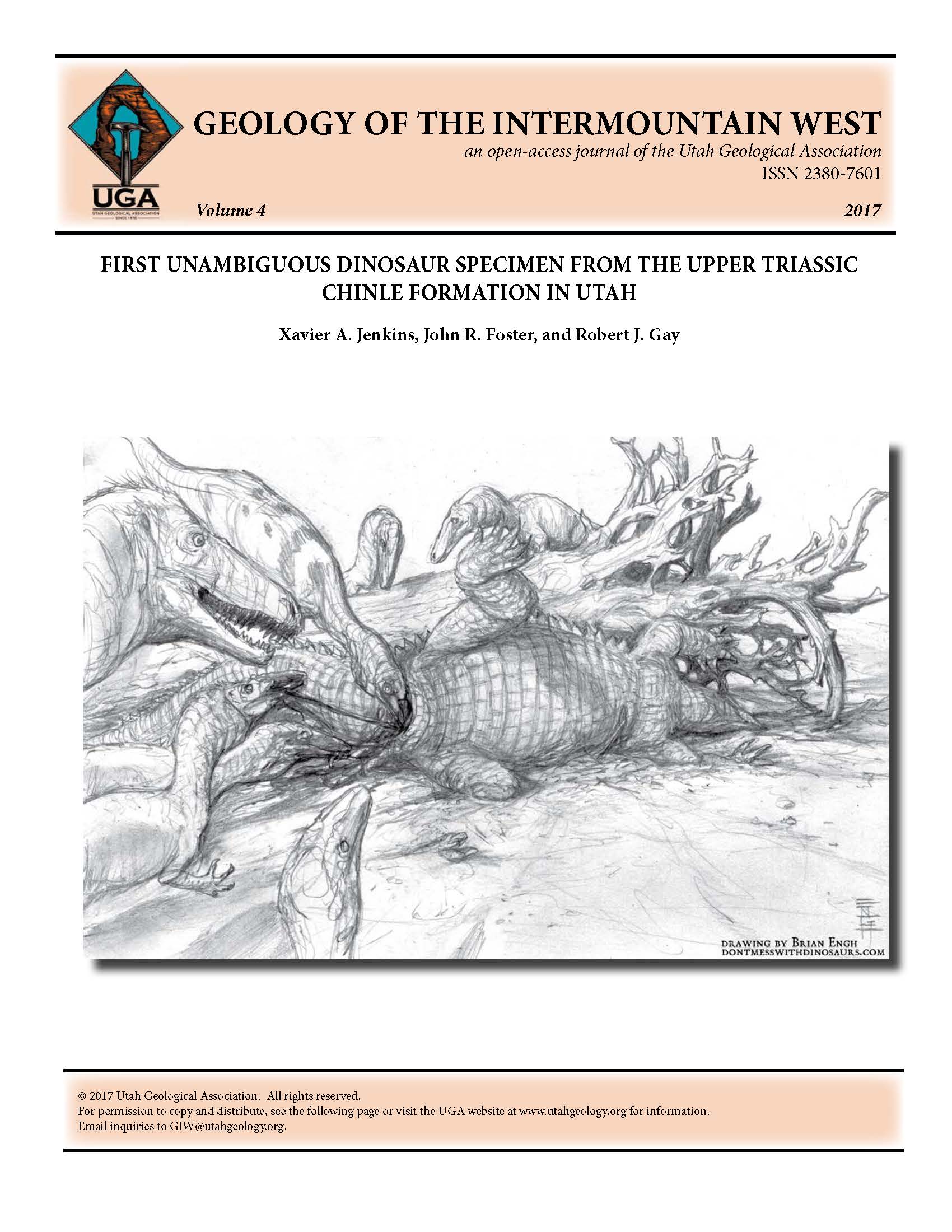
    First unambiguous dinosaur specimen from the Upper Triassic Chinle Formation in Utah
    Xavier A. Jenkins, John R. Foster, Robert J. Gay
    231-242
    • PDF
Current Issue
  • Atom logo
  • RSS2 logo
  • RSS1 logo
Make a Submission
Information
  • For Readers
  • For Authors
  • For Librarians

Hosted by Prohosting

About this Publishing System