An unconformity in the Pole Creek area (Sevier Plateau) west of Antimony, western Garfield County, Utah, and its bearing on the Sevier gravity slide
Abstract
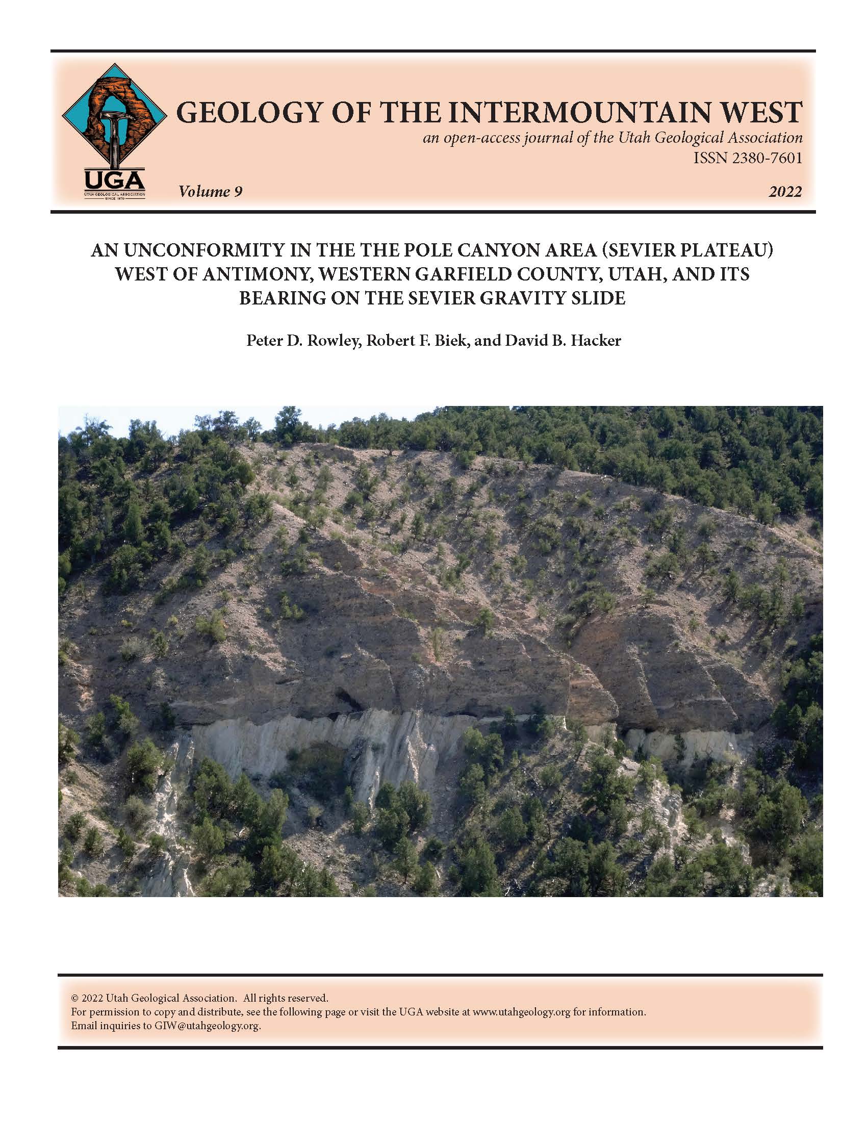
Pole Canyon is cut into the western backslope of the Sevier Plateau of southwestern Utah, a gently-tilted, block-faulted range that extends north from Bryce Canyon National Park through the eastern part of the Marysvale volcanic field. The canyon exposes a spectacular angular unconformity that separates brecciated, intensely deformed, and steeply dipping Eocene to Oligocene sedimentary and volcanic rocks below, from gently east-dipping Miocene volcanic rocks above. Although identified in 1968 by the senior author, it took renewed geologic mapping in 2015 by all three authors to discover that the rocks below the unconformity were deformed by gravity sliding. We named it the Sevier gravity slide, one of the largest terrestrial landslides on Earth. The ages of the volcanic rocks above and below the unconformity constrain the age of sliding at between 25.8 and 23.1 Ma; later dating elsewhere put the slide movement at between 25.2 and 25.1 Ma.

Copyright (c) 2022 Utah Geological Association

This work is licensed under a Creative Commons Attribution-ShareAlike 4.0 International License.


