A site bearing on the origin of iron deposits in the Iron Springs Mining District, Iron County, Utah
Abstract
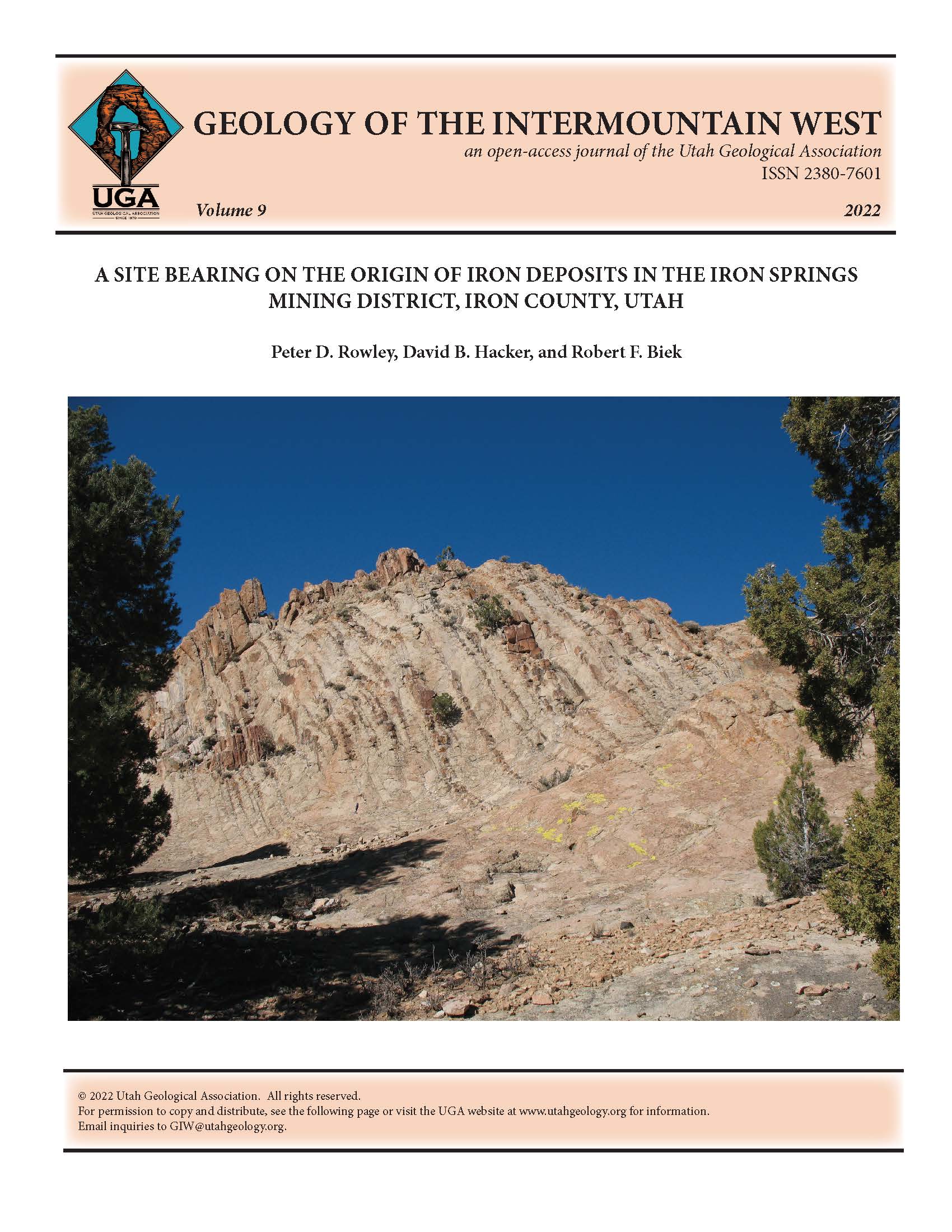
The discovery of the origin of iron in the Iron Springs mining district of southwestern Utah is a story of unconventional thinking based on detailed geologic mapping. This district, for many years the largest iron producer in the West, owes its resources to emplacement of three Miocene laccoliths of quartz monzonite porphyry. A visit to the geosite, in the outer part of one of them, The Three Peaks laccolith, reveals evidence of magma emplacement and mineralization of the overlying host rock. This outcrop formed by upward and outward bulging during intrusion of a rapidly congealing, crystal-rich magma. The pluton was emplaced remarkably close to the surface, about 1.2 miles (2 km) depth, and the ferromagnesian phenocrysts became unstable and broke down (deuteric alteration), releasing iron molecules into the hydrothermal solutions. As the magma solidified, subvertical extension joints formed. The radial joints in particular, oriented perpendicular to the intrusive contacts, allowed the iron-rich solutions to escape into the concordant upper contact of a pure limestone about 280 feet (85 m) thick. This limestone is the Co-op Creek Limestone Member of the Carmel Formation (Middle Jurassic). The joints tapped the solidifying crystal mush adjacent to the joints. The iron in the solutions replaced some or most of the Co-op Creek Limestone Member, creating huge ore bodies of hematite.

Copyright (c) 2022 Utah Geological Association

This work is licensed under a Creative Commons Attribution-ShareAlike 4.0 International License.


